Qarah Church (Tatavoos Church), Maku

This church is situated in the village of Qarah Kelisa, district of Siyah Cheshmeh, Maku. It is the tomb of the sacred Thaddeus. According to historical records of the Sassanian period, some of the Armenians were the followers of prophet Zoroaster, whereas some were sun worshipers. In the year 43 AD. two men by the name of Tatavoos and Batholemus preached on Christianity in the vicinity of Azarbayjan, thereby gaining number of followers (3500 people ) including the daughter of the monarch of the time.
In order to stop the advancement of Christianity, the Armenian ruler ordered for their massacre in the year 66 AD. It is said that their bodies were buried in the vicinity of this church. In the year 1329 AD. , the church was renovated and in the year 1810 AD. was repaired. This church comprises of two sections, one is the 'Black Church' which is the older section, and the other being the 'White Church' is larger than the other and is the new segment. The black church has mythical artistic efforts on its structure whereas in the new church the engravings differs.
In order to stop the advancement of Christianity, the Armenian ruler ordered for their massacre in the year 66 AD. It is said that their bodies were buried in the vicinity of this church. In the year 1329 AD. , the church was renovated and in the year 1810 AD. was repaired. This church comprises of two sections, one is the 'Black Church' which is the older section, and the other being the 'White Church' is larger than the other and is the new segment. The black church has mythical artistic efforts on its structure whereas in the new church the engravings differs.
Orumieh Lake, West Azarbayjan

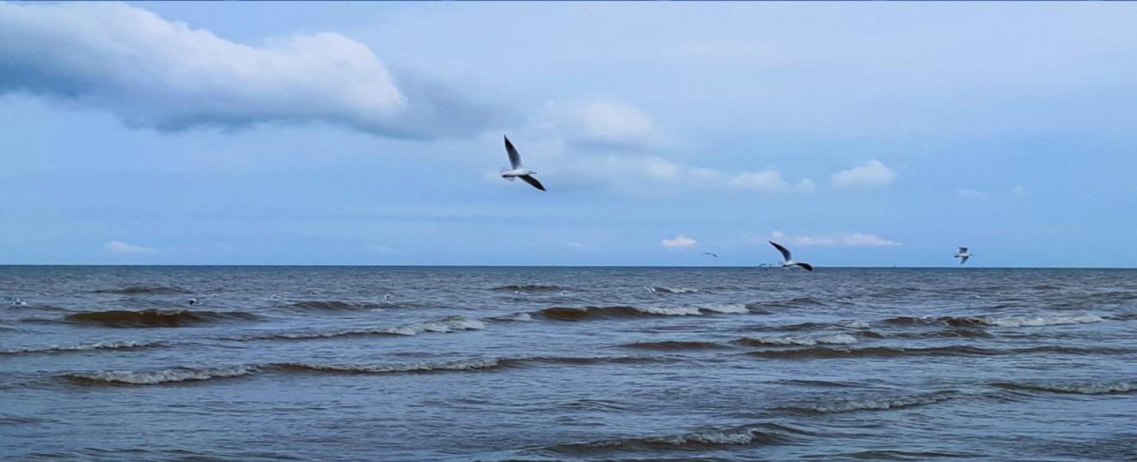
The province of West Azarbayjan has the largest lake of Iran in its territory, known as Lake Orumieh. This lake is at an altitude of 1,267 m. from the sea level, with a length of 130-140 km, the width being approximately 15-50 km. and at an average depth of 50-60 m. Its waters are extremely salty (twice the salinity of the oceans), consequently the lake never freezes.
From olden times, local physicians made use of the water (because of its mineral content) and coastal sludge, in treating skin diseases and rheumatoid disorders. The best season for bathing in these waters are from the end of June till the third week of August, when the lake begins getting cold.
Lake Orumieh has numerous islands, both large and small totaling to 102 in number. The most important of these being the following, Kaboodan (Qoyoon Daqi), Ashk, Espeer, and Arezoo.
Kaboodan Island: This island is one of the largest islands of the lake Orumieh, located to the east of which and covering an area of about 3,175 hectares. Its vegetation being generally short scrubs and a variety of trees bearing wild fruits and nuts. Mammals such as wild goat and wild sheep exist on this Island. It is protected by the Department of the Environment as a National Park.
Ashk Island: This island lies to the south of the Island of Kaboodan and 40 km. from the port of Golman Khaneh. This island has a 'sweet water' spring and provides a natural habitat for resident and immigrant birds. One of the rarest species of wildlife known as the 'Iranian follow deer' is found here. The Island covers and area of 2,115 hectares and its vegetation is similar to that of the Island of Kaboodan.
Espeer Island: This island covers an area of 1.151 hectares, located to the west of the Kaboodan island and 27 km. from the port of Golman Khaneh. This island provide a natural habitat for birds. The island also has one jetty. These islands have facilities for swimming and water sports.
Altitudes and Summits, West Azarbayjan

Due to the relief of the land in West Azarbayjan province, there are numerous summits in this area.. Some regions such as the eastern slopes of the mount Ararat around Mkau, Siyah Cheshmeh, Sardasht, etc., are extremely pleasant during summer. In the region of Targehvar and Margehvar, which are at 13km west of Orumieh are the border mountains of Iran, Turkey and Iraq. This area is extremely pleasant in summer and in winter due to heavy snow can be used for winter sports such as skiing.
The altitude here being 600-700 m. above the sea level and the most important peaks for skiing or mountaineering are : Shahidan (3,555 m.), Sesoo(3,000 m.), Sitareh-ye-Lavand (2,800 m.), Yer Bahar (2,800 m.), Khalil (3,100 m.), Sekacheh (3,000 m.), Dalapar' (3,380 m.), Mah Daqi (2,850 m.) and Nader (2,000 m.).
The altitude here being 600-700 m. above the sea level and the most important peaks for skiing or mountaineering are : Shahidan (3,555 m.), Sesoo(3,000 m.), Sitareh-ye-Lavand (2,800 m.), Yer Bahar (2,800 m.), Khalil (3,100 m.), Sekacheh (3,000 m.), Dalapar' (3,380 m.), Mah Daqi (2,850 m.) and Nader (2,000 m.).
Protected Zones, West Azarbayjan

Due to the natural physical features present in the province such as rivers, wetlands, lagoons, large and small lakes all these form a natural habitat for a variety of wildlife. Thereby this region is an important one in this regard in Iran. Some of these wild species being of the area itself and others can counted as immigrants spending the winter season in this region.
Species recognized here are: wild sheep, gazelle, wild goat, boar, bear, wolf, hare, fox, leopard, snakes, mice, gray squirrel and …
A few examples of birds are partridge, turtle dove, grouse, ring dove, vulture, owl and…
Protected areas of the province are, The National Park of Lake Orumieh (including its banks and Islands), groves and semi-forests areas (4,810 hectares), Protected Area of Marakan in north of Mkau, Protected Area of Aaq Gol and the hunting grounds of Aaq Gol (Maku). The free zone hunting grounds of Khoy and Maku are in the south and center of the province.
Baqcheh Jooq Palace, Maku

This palace is located at a distance of 8 km. between Maku and Bazargan border town and is situated in a vast garden covering about 11 hectares. This palace was built at the end of Qajar era under the orders of Iqbal-ol-Saltaneh Makui, one of the commanders of Mozafaredin Shah. This edifice can be divided into four portions:
The gateway and courtyard having a relatively small vestibule with a ceiling adorned with paintings.
The main palace in two floors, having a gable-roof and numerous halls and chambers adorned with paintings, plaster moldings and mirror-work.
A building constructed of stone or the kitchen of the palace finished in polished stone.
Lastly, miscellaneous areas such as storage spaces and toilets.
The facade of the edifice is enhanced with statues of plaster and banisters made of same material have enhanced its beauty. Due to the fact that this palace is located on the transit road of Turkey-Europe, thousands of tourists visit this place annually.
Takht-e-Soleiman Castle, Takab

The aggregate of the Takht-e-Soleiman monument is placed on a natural high land, about 20 m. above the surrounding plain. All the structural relics have been constructed within an oval shaped rampart. The exterior rampart with 5 m. thickness, 14 m. height and outer circumference of 1,200 m. has 38 conical defense towers.
The outer wall is a remnant from the Sassanian period. During the Ilkhanan reign, a new gateway had been constructed adjoined with the former southern gateway. Within the oval rampart there are two square plots, with uniaxis and different centers. In the centers of the southern square there is a lake and the northern square an ancient fire-temple respectively. Eivan-e-Khosrow is placed to the north western direction of the lake and to its southern side is Eivan-e-Garabaq-e-Khosrow. Takht-e-Soleiman was destroyed during the Roman conquest in 624 AD.
In archeological surveys around the area of the fire-temple a variety of coins, tiles and a huge copper cooking vessel (a remnant of the Islamic period), have been discovered. The Soleiman prison which consists of the remnants of a pre-historic and the Medes temple is included in this aggregate. Sites such as dormant volcanoes, thermal springs and streams around Takht-e-Soleiman are worth surveying.
Faqerqa Cave, Mahabad

In the village of Andarqash 18 km. from Mahabad right in the heart of the mountain a relatively large crypt has been formed (related to the first king of Medes). This cave is of unique architectural design and its height till ground level is about 10 m. Within this cave there are three sites that most probabely one of them belongs to Fra Atis. People of Andarqash believe that this crypt was for sometimes the dwelling place for Farhad (From the love story of Shirin and Farhad). He has made some drawings remembering his beloved. Most probabley the word Faqerqa is the short form of the word Farhadgah.


